Coverage & planning
What determines how much land a fire camera can monitor?
A camera’s advertised range tells only part of the story. The land it can usefully monitor depends on its view, the conditions and how the system operates.
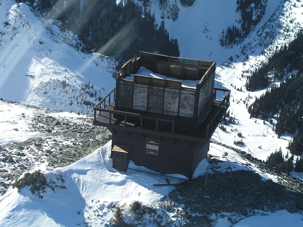

There is no single hectare figure that applies to every fire camera. Useful coverage depends on what the camera can see, the detail available to its detection software and how often the view is checked. An advertised viewing distance gives only part of that picture.
For a land manager, the practical question is whether the system can provide useful warning from the areas that matter. A coverage assessment should make its assumptions and gaps visible.
Start with a distance and an angle
A circle drawn around a camera assumes the same reach in every direction. A camera’s field of view is the angle captured in an image. Even on an imaginary, unobstructed landscape, that angle changes the area inside a chosen distance.
Illustrative geometry
Same distance, different area
An invented 10 km radius, viewed from above.
360° circle
≈ 314 km²
≈ 31,400 hectares
90° sector
≈ 79 km²
≈ 7,900 hectares
Terrain and mounting height shape the view
Ridges, trees and buildings can conceal parts of a site. Raising or relocating a camera changes its sightlines, but a high position does not remove every blind spot.
Planners can produce a viewshed: a map of places visible from an observation point. The analysis tests sightlines against an elevation model. Ask which camera height it assumes, and whether the model represents trees and buildings as well as bare ground.
The height of the thing being observed matters too. For smoke, the implication is that a plume may become visible above a ridge while the ignition point remains hidden. A map based on a tall plume does not establish visibility of smoke close to the ground.
A wider view spreads the available detail
Axis’s lens guide explains how the lens and image sensor determine the field of view. Zooming in magnifies a distant scene while narrowing the angle captured. With a fixed image resolution, spreading the view across more land leaves fewer pixels for a small feature.
That creates a practical trade-off for smoke detection. Seeing a distant hillside clearly enough to recognise it does not establish that software can identify a small, faint plume there.
Ask for evidence at the proposed distances using the images the software actually analyses. Specify the camera, lens settings and smoke conditions. Megapixels alone cannot establish useful coverage.
Weather and light change usable range
Axis’s guidance on video analysis identifies weather, image quality and a target’s brightness as factors affecting detection distance. A clear-day demonstration cannot establish performance in haze, rain or difficult lighting.
Request separate evidence for daytime and night-time operation. The answer depends on the camera hardware and detection method. Our existing-camera assessment guide explains why ordinary night vision and thermal imaging need different consideration.
Maintenance also changes the picture. Dirty lenses, altered camera direction or growing vegetation can reduce a previously useful view. Check how these changes are noticed and corrected.
Coverage also has a time dimension
A camera that pans, tilts and zooms can examine different directions over time. ALERTCalifornia reports 360-degree sweeps approximately every two minutes for its monitoring cameras. That example shows why a scanning schedule belongs in a coverage assessment.
Ask how often each priority area returns to view and whether inspecting an incident interrupts the normal sweep. A panorama assembled from successive images does not show every direction at the same moment.
Also establish how the system reports lost power or a failed video connection. Land inside a coverage outline still needs a working route from camera to alert.
Ask for a map, assumptions and evidence
Additional cameras may offer useful views into gaps. Where their views overlap, count the shared land once when calculating total area. Overlap can still help: an operational account from the HPWREN network describes using different viewpoints to narrow down a suspected fire’s location.
Request a coverage map clipped to your site boundary, with blind spots, mounting positions, viewing angles and scanning intervals marked. Pair it with evidence from representative conditions and a plan for maintaining the system.
Where camera views remain limited, our comparison of cameras, satellites and ground sensors explains what other methods may add.
Sources & further reading
- How Geodesic Viewshed works Esri, ArcGIS Pro documentation
- Lenses in surveillance Axis Communications (2025)
- What factors should you consider for optimal video analytics performance? Timo Sachse, Axis Communications (2023)
- Research & Technology ALERTCalifornia, UC San Diego
- Lessons learned from operating a public wildfire detection system Kinshuk Govil, Open Climate Tech; published by HPWREN (2021)
NuraGaze provides wildfire early-warning software and monitoring systems. This explainer draws on mapping, camera and operational guidance. The illustrative areas are not NuraGaze performance claims.