Detect wildfires earlier.Act while it still matters.
NuraGaze connects AI video analysis with proven large-area monitoring infrastructure, turning potential fire detections into precise, actionable information for response teams.
Important: Every site is assessed before deployment. Camera suitability, detection range, coverage and location accuracy depend on image quality, terrain, visibility, connectivity and system design.
From landscape to response
A direct operational path from detection to intervention.
Technology is useful when it helps people make better decisions sooner. NuraGaze is designed around the operators who verify events and the teams who respond.
01→
Observe
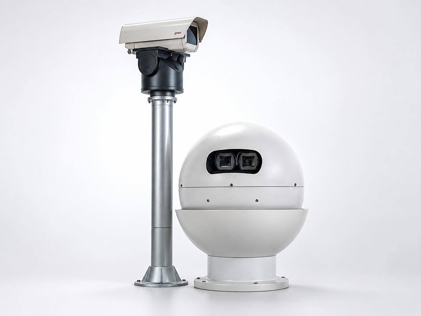
Compatible cameras or dedicated remote stations monitor the landscape continuously.
02→
Detect
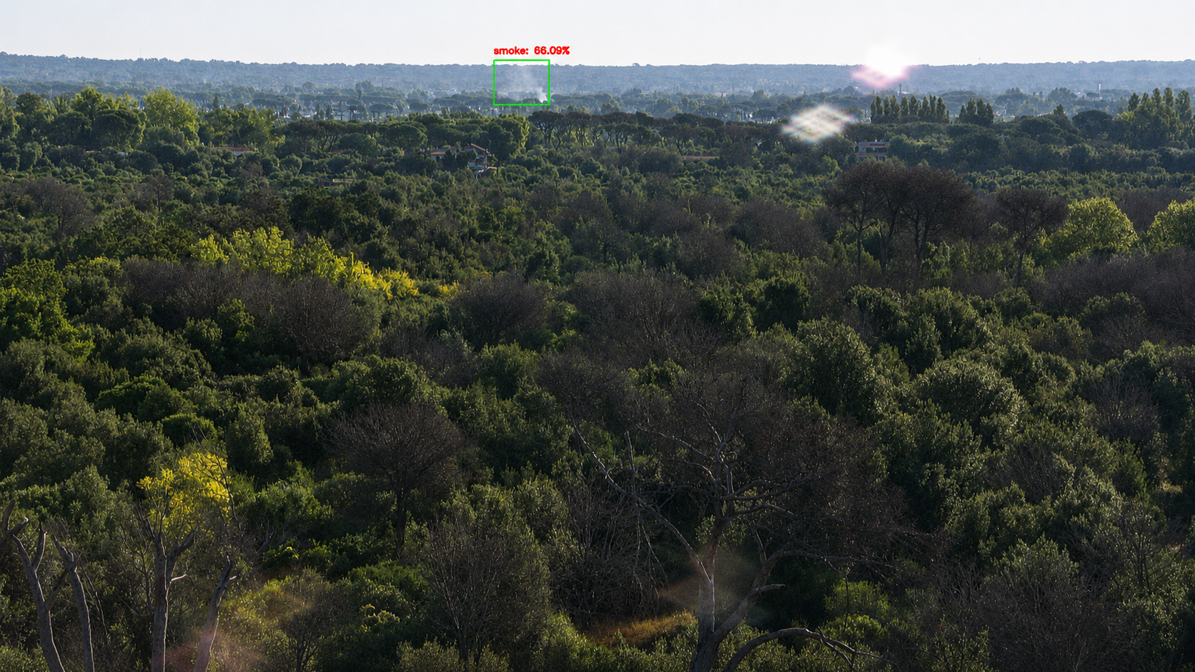
AI-assisted analysis looks for visual smoke, fire or thermal indicators.
03→
Verify
Operators inspect the event, use PTZ cameras where available and confirm what is happening.
04
Respond
Authorised teams receive event imagery, coordinates and the information needed to act.
Technology that fits the mission
Coverage where it matters. Context when it counts.
AI NuraGaze EWS
01 / EWS
Make existing video feeds work harder.
NuraGaze EWS analyses compatible camera streams for early visual indicators of smoke and fire. It can enhance an existing monitoring estate or sit within a new BSDS® network.
Large-area awareness, down to an actionable location.
≤ 2 minDetection time30 kmSmoke identification and geolocation radius, up to15 kmInfrared flame-front detection radius, up to< 0.25 haReported location area, approximately 50 × 50 m20k–35k haApproximate infrared coverage per station20k–280k haApproximate visible-optics coverage per station
These are BSDS® system specifications reported by EPG. Actual performance depends on terrain, visibility, intervisibility, camera configuration and installation design.
Built for high-consequence environments
Protecting landscapes, infrastructure and livelihoods.
Early detection matters anywhere a small ignition can become a large operational, environmental or economic loss.
01
Forestry & land management
02
National parks & conservation
03
Ports & coastal infrastructure
04
Utilities & power networks
05
Waste & recycling facilities
06
Industrial & logistics sites
07
Mining & bulk materials
08
Agriculture & vineyards
Four decades in the field
A proven detection heritage, built forward with AI.
The technology behind BSDS® has evolved through continuous field use, from an early infrared prototype to integrated visible, thermal and AI-assisted monitoring.
The first prototype
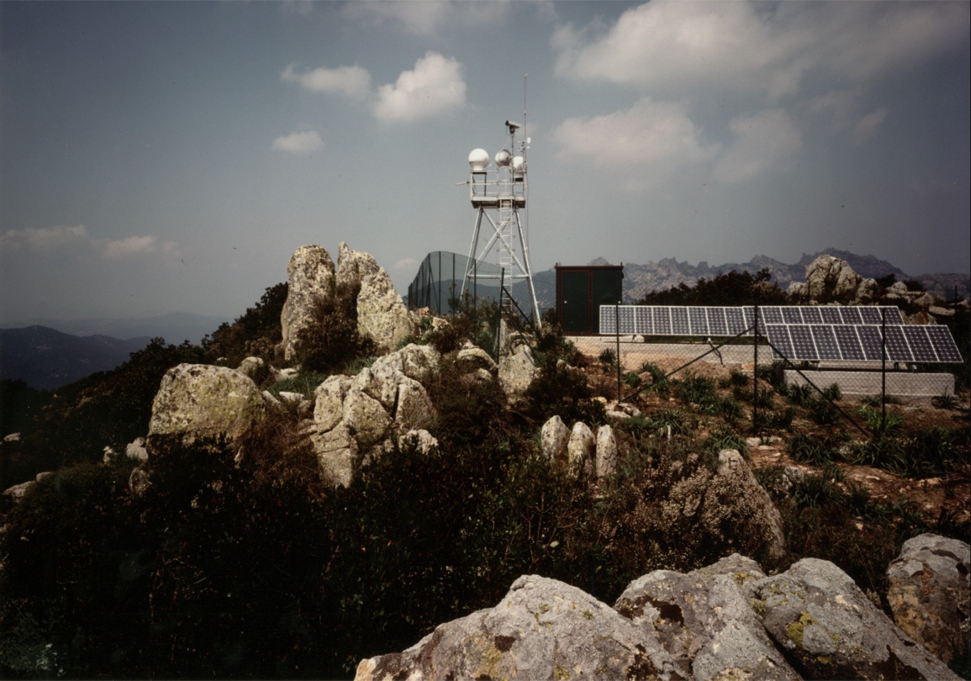
Infrared sensing, image processing, remote communication and automated alarms combine in a system that detects a test fire roughly seven kilometres away.
From station to network
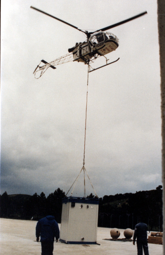
BSDS® moves into continuous operation and expands into regional protection networks.
From detection to prevention
Environmental conditions, vegetation, wind, incident history and human activity begin informing preventative risk mapping.
Intelligent, integrated response
An ESA-funded project advances visible and infrared sensing, AI smoke detection, risk mapping and automated control-room alerts.
A historic BSDS® remote stationRemote installation in the field
Evidence & deployment record
Developed through institutions. Tested across real terrain.
BSDS® reports certification by the European Space Agency and the National Institute for Aerospace Research, alongside deployments across Italian regions, national parks and infrastructure environments.
Reported certification bodies
Selected reported deployment references
Names and marks identify reported BSDS® certifications and historical deployments. They do not imply current endorsement of NuraGaze.
Practical questions
What teams usually want to know.
01Can NuraGaze use our existing cameras?+
Often, yes. We first assess image quality, field of view, positioning, stream format, connectivity and access. Where the network is suitable, NuraGaze EWS can add automated detection without replacing serviceable equipment.
02Does the system send an alert automatically?+
BSDS® can trigger audible and on-screen alarms and send authorised personnel an event image, identifier and coordinates through configured messaging services. Integrations for NuraGaze EWS are defined around the customer’s operational systems.
03Is every AI detection a confirmed fire?+
No. The system identifies potential events for investigation. An operator should verify the imagery and available sensor evidence before escalation.
04How much area can one station cover?+
Reported BSDS® coverage ranges from approximately 20,000–35,000 hectares for infrared sensing and 20,000–280,000 hectares for visible optics. Terrain and installation design can materially change the result.
05What is involved in a deployment?+
We begin with site, risk and infrastructure assessment. A software-first project focuses on compatible feeds and integrations; a complete BSDS® project can include station design, communications, installation, control-room configuration and operator workflow.
06How are demonstrations arranged?+
Email us with your location, environment, existing camera coverage and approximate area of interest. We will arrange a focused demonstration around your site and operational needs.
Start with your landscape
Let’s shorten the distance between ignition and action.
Tell us what you need to protect, the coverage you already have and how your response team works. We’ll help identify the right starting point.